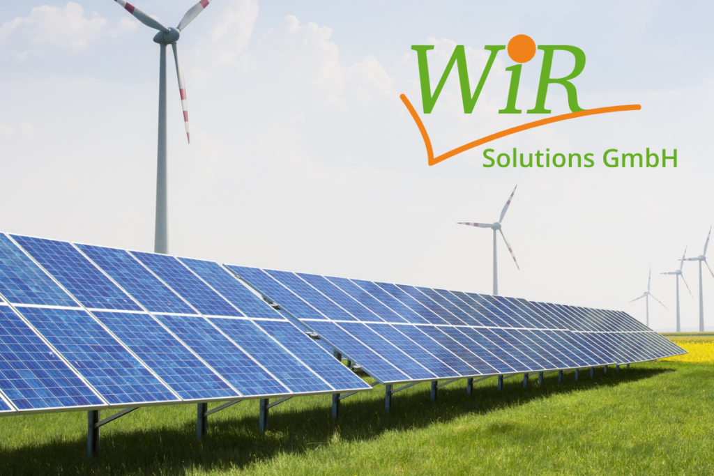
The bottleneck of the energy transition is the cable route. WiR Solutions presents a fully digital workflow for storage connection: From high-speed data capture via Mobile Mapping to seamless documentation in the online GIS InfraDok.

Greven, January 15, 2026 – PV parks and large-scale storage facilities are planned, yet realization often fails due to the protracted planning and documentation of grid connection routes. At E-World 2026, WiR Solutions shows how this process is massively accelerated by integrating Mobile Mapping and the documentation platform InfraDok. The company replaces manual surveying and static file folders with a dynamic, digital process chain.
Phase 1: Data Capture in Record Time The foundation of every route planning for the medium-voltage connection of PV parks is a precise survey. Conventional survey teams are time-consuming and expensive. WiR Solutions relies on Mobile Mapping here. By using specialized measurement vehicles, the planned route (street space, paths, terrain) is digitized with LiDAR scanners and 360° cameras while driving. The result is a high-precision 3D point cloud that gives planners immediate clarity on surface conditions and obstacles without the need for multiple site visits.
Phase 2: Seamless Integration into InfraDok The captured mass data is worthless without structured management. This is where InfraDok comes in. The system acts as a central online GIS with integrated photo documentation, into which the mapping data flows. For investors and grid operators, this means:
1. Visual Evidence Preservation: The condition of the route is fully documented before construction begins, minimizing liability risks for road damage.
2. Construction Progress Control: During the laying of the cable route, the installed infrastructure is recorded directly in the system. This creates transparency regarding installed assets and provides the data basis for exact CAPEX cost verification.
Scalability for Major Projects Flexibility is crucial, especially for large solar parks with complex ownership structures. InfraDok is designed so that storage space and the number of simultaneous sessions scale with project progress. Planning offices, construction companies, and investors access the same data status web-based and device-independently, drastically reducing coordination loops.
Data Sovereignty as a Location Advantage Given the critical nature of energy infrastructures (KRITIS), data storage location is a decisive factor. WiR Solutions guarantees that all project data is securely hosted in the Münsterland region or, optionally, integrated directly into the customer’s IT infrastructure. This allows grid operators to retain full control over their sensitive grid data.
At stand 5F127, WiR Solutions demonstrates via a real-world use case how the time span from route surveying to finished as-built documentation can be significantly reduced.
About WiR Solutions GmbH
Since 2006, WiR Solutions GmbH has stood for expertise in network and supply planning. Based in Greven, the team develops forward-looking solutions for fiber optic expansion and the heating transition. By utilizing state-of-the-art technologies such as mobile mapping and GIS-supported documentation, WiR Solutions ensures efficient planning processes and high data accuracy. Within a network of specialized partner companies, WiR covers the entire value chain—from initial route analysis to secure IT operations.